Specialized Capabilities
Sub-Services Under Oceanographic & Hydrographic Surveying
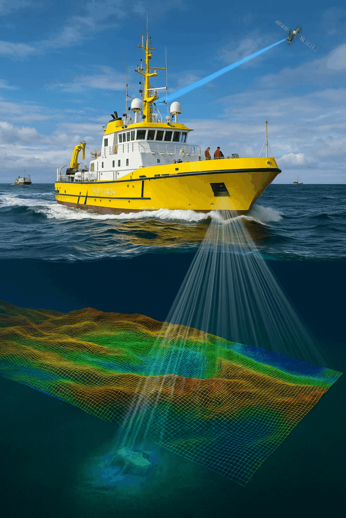
Multibeam Bathymetry & Side-Scan Mapping
Acquire high-coverage depth and seabed imagery to chart channels, berths, and hazards with patch-tested systems.
Route & Geophysical Surveys (SBP/Mag)
Profile shallow geology and detect utilities or debris with sub-bottom profilers and magnetometers for cable/pipe design.
ADCP Current, Wave & Tidal Studies
Measure currents, waves, and tides with vessel-based transects or moored instruments and deliver decision-ready summaries.
CTD & Water-Quality Sampling
Collect temperature, salinity, DO, turbidity, and nutrients with chain-of-custody and calibrated sensors for compliance.
Shoreline & Topo-Bathy Mapping
Blend RTK/GNSS, drones, and topo-bathy LiDAR to build seamless coastal surfaces across intertidal and nearshore zones.
Charting, Datums & Reporting
Reduce to required datums, package QC and uncertainty, and supply CAD/GIS-ready layers, mosaics, and concise reports.